

Environmental Constraints Screening Tool
Challenge
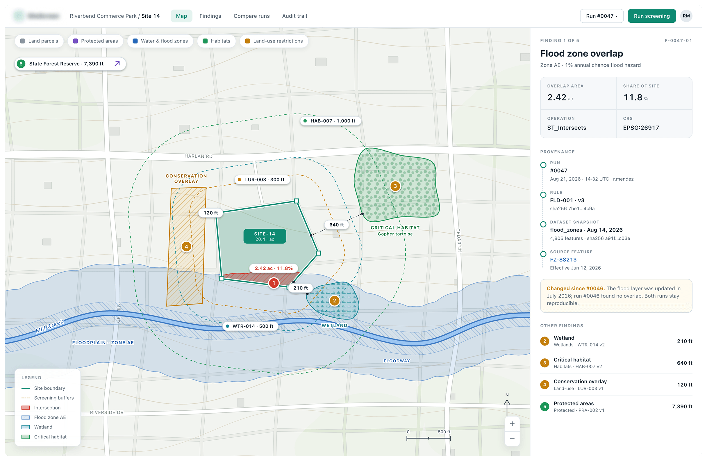
A US construction company needed to spot environmental and land constraints on potential sites early, before committing to a project. The data it needed sat in separate datasets: land parcels, protected areas, water and flood zones, habitats, land-use restrictions.
That made it difficult to build a complete picture of a site. The company also needed results it could trust later. Every finding had to be traceable to the data behind it, and earlier results had to stay available even after that data changed.
Solution
CodeGeeks built an internal geospatial tool that brings all of this environmental and land data into one place. Teams define a potential development site and run spatial checks against it. Intersection checks show whether the site overlaps a constrained area. Proximity buffers show whether the site falls within a set distance of one. Each finding is linked to the source data and the rule that produced it. When data or rules change, previous runs are kept, so any earlier result can be revisited and explained.
Outcomes
Project teams can now screen a potential site at the start of planning and back every result with evidence they can revisit later.
88%
Of spatial constraint checks automated
100+
Potential development sites screened through the platform
68%
Faster initial environmental and land constraint screening
Related Case Studies
All case studies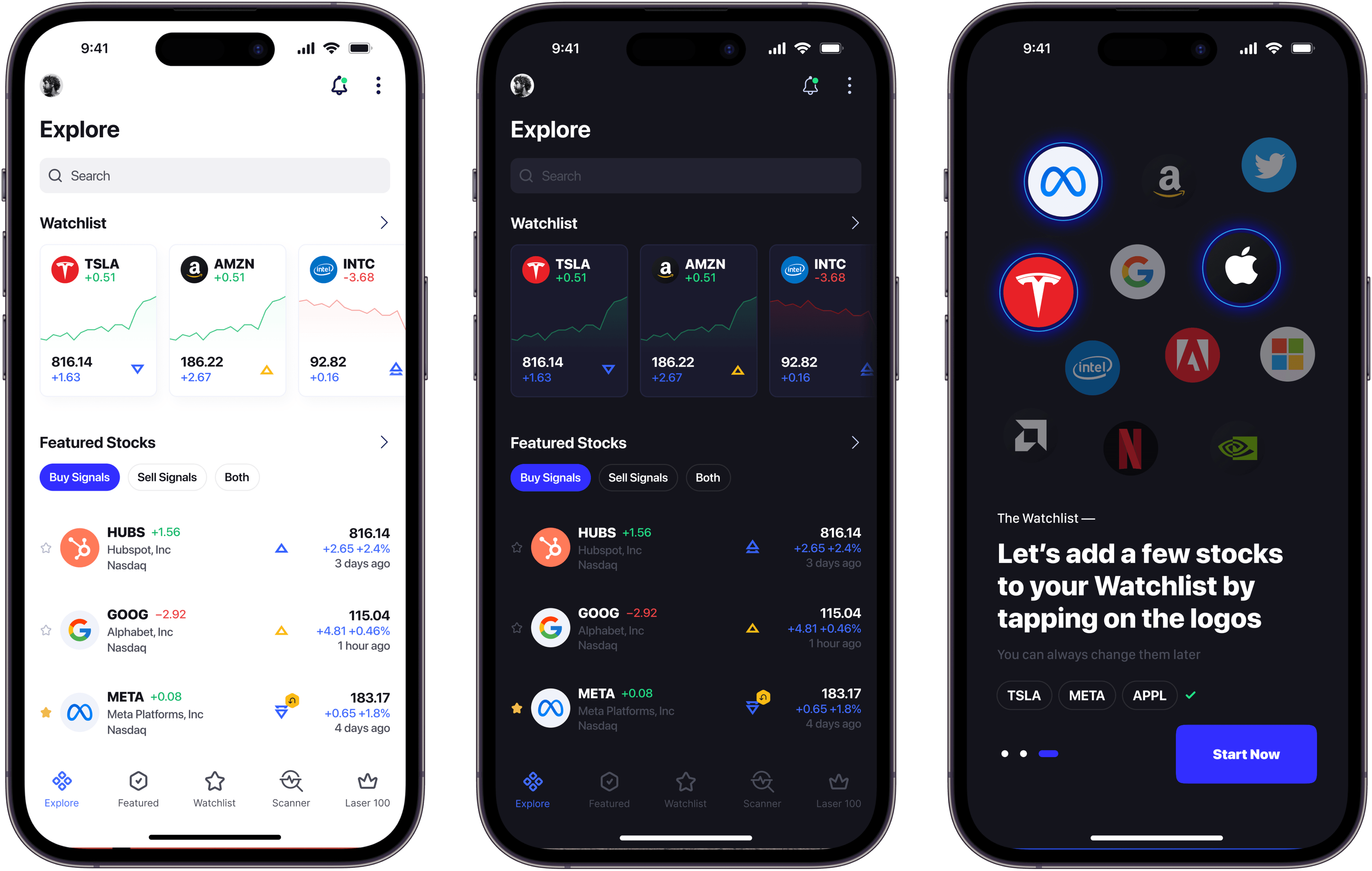
AI Stocks Investing Application
AI-driven app that acts as a personal advisor, analyzing market trends and using the client’s algorithms to offer real-time buy and sell recommendations.
Artificial IntelligenceFinTechPredictive Analytics.webp&w=3840&q=100)
Construction Management Ecosystem
Construction company apps ecosystem. Estimation, Project management, and dig dashboard cover the whole development process
Enterprise SoftwareDigital Transformation
Curious about the project cost?
We are always here to help
Hesitating which course to select for your company? Reach out, and we will help you navigate through the seas of the latest innovations and trends.
- Book a call

Oleg Tarasiuk
CEO & Strategist
- Book a call

Roman Labish
CTO
- Book a call

Roman Oshyyko
Design Director