
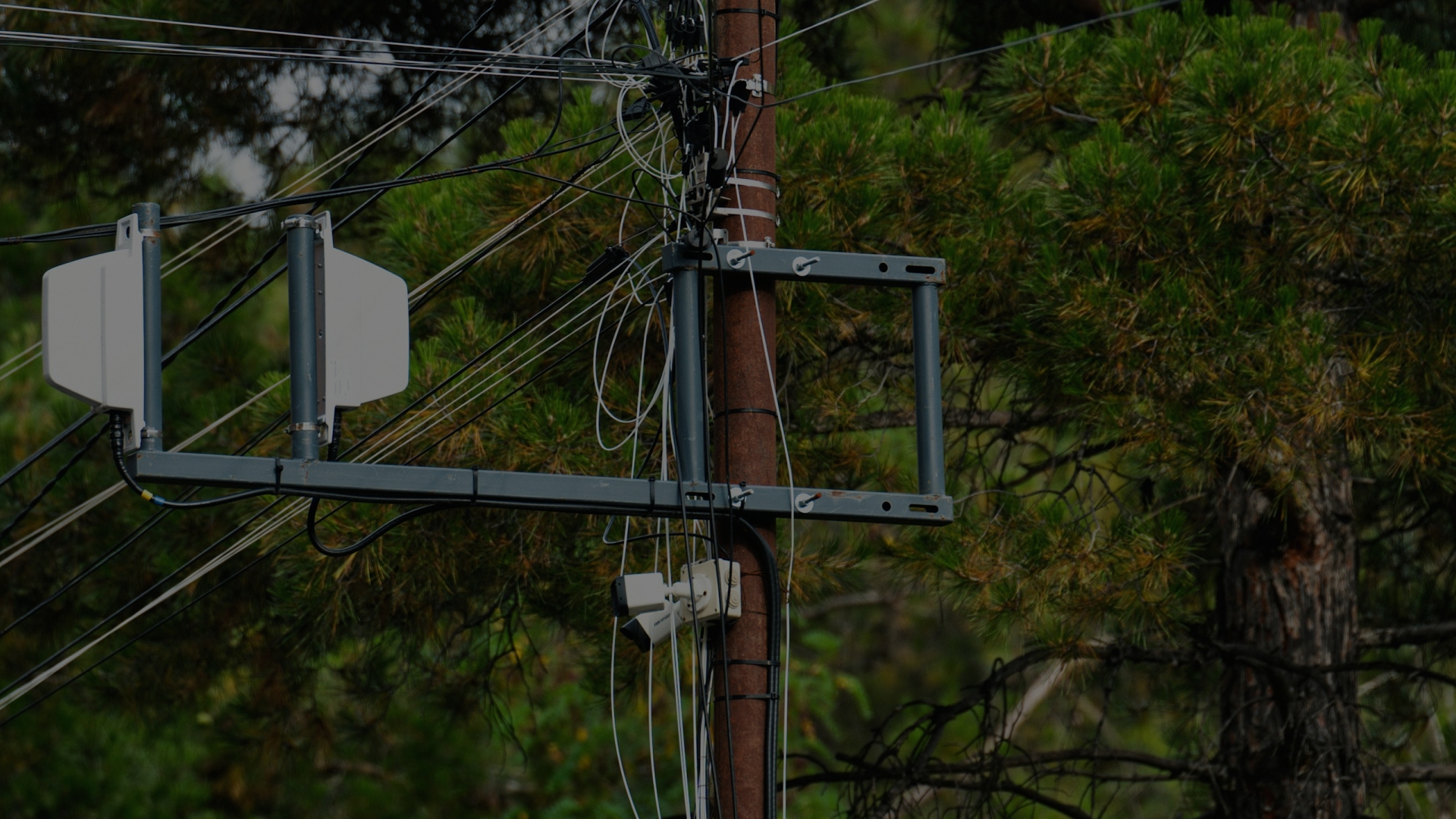
Fibre Network Inventory & Planning Platform
Challenge
A client had no single view of its own network. Asset data was spread across design files, field surveys and a legacy inventory system, each in its own format and coordinate reference system. This made it hard to see the network as a whole, compare sources, or tell which version of a record was the latest. The operator needed one consistent spatial picture of its network to support planning, connected to the systems its teams already used.
Solution
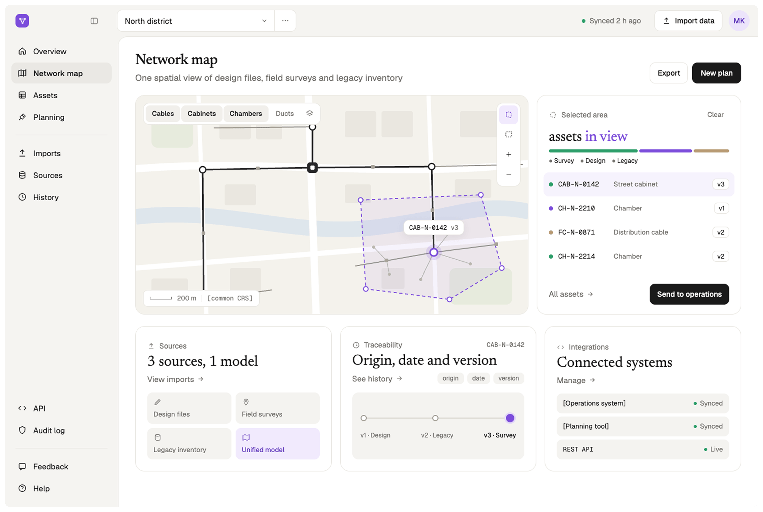
CodeGeeks built a web GIS platform that imports data from all three sources, converts it to a common coordinate reference system and normalises it into a single spatial model of the network. The model is published as map layers, and planners can select any area on the map to query the assets inside it. Every asset keeps its origin, date and version, so each record can be traced back to where it came from. The platform integrates with the operator's operational systems through APIs.
Outcomes
The operator now plans from one consistent, traceable view of its network instead of piecing it together from separate files and systems.
3 → 1
Data sources unified into one spatial model
100%
Of assets traceable to origin, date and version
Related Case Studies
All case studies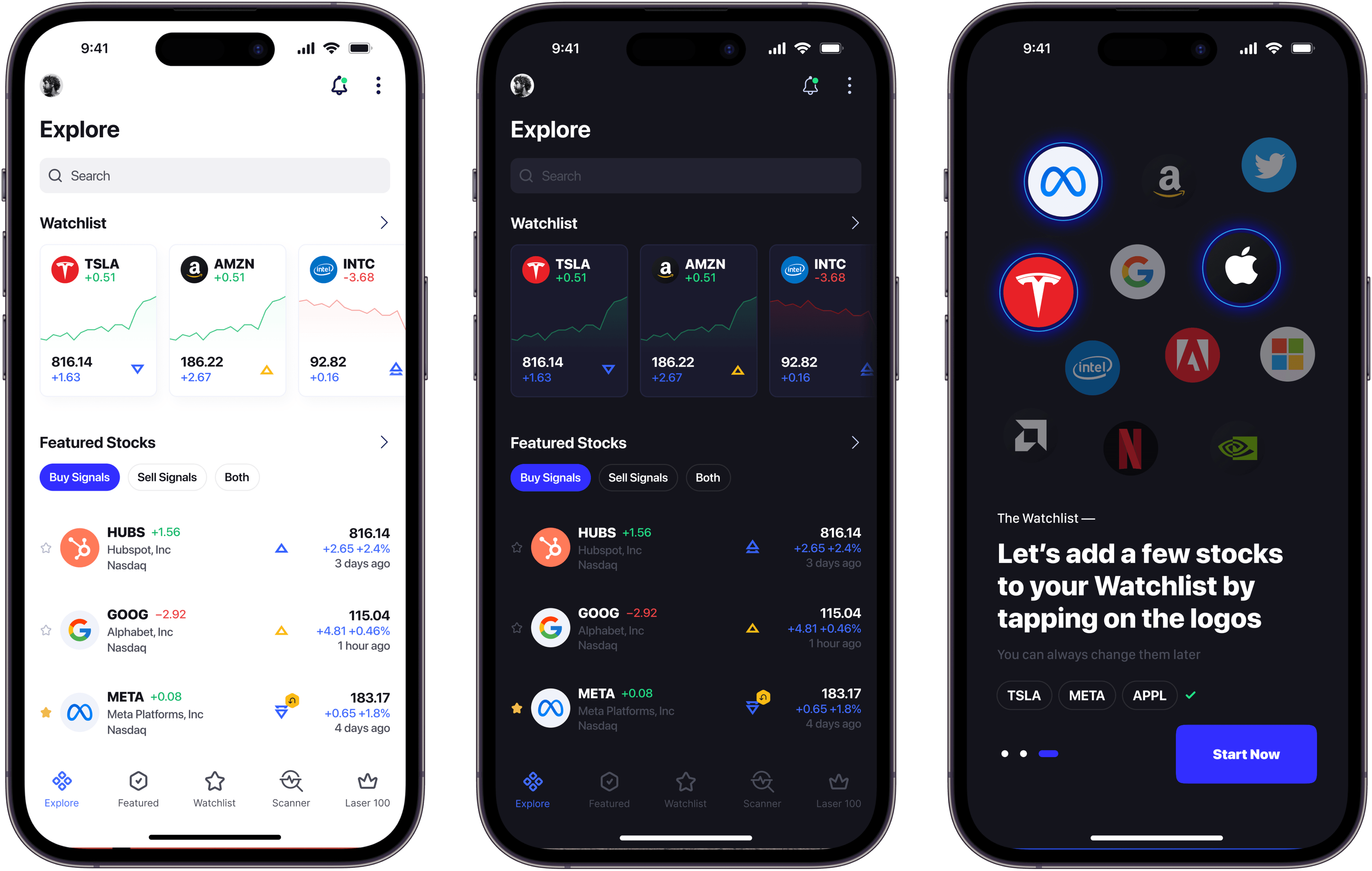
AI Stocks Investing Application
AI-driven app that acts as a personal advisor, analyzing market trends and using the client’s algorithms to offer real-time buy and sell recommendations.
Artificial IntelligenceFinTechPredictive Analytics.webp&w=3840&q=100)
Construction Management Ecosystem
Construction company apps ecosystem. Estimation, Project management, and dig dashboard cover the whole development process
Enterprise SoftwareDigital Transformation
Curious about the project cost?
We are always here to help
Hesitating which course to select for your company? Reach out, and we will help you navigate through the seas of the latest innovations and trends.
- Book a call

Oleg Tarasiuk
CEO & Strategist
- Book a call

Roman Labish
CTO
- Book a call

Roman Oshyyko
Design Director